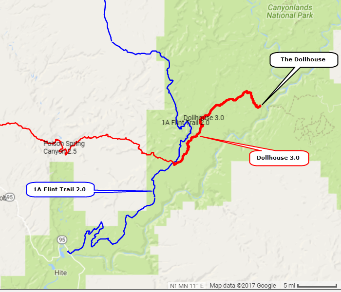
Dollhouse 3.0
|
A fairly difficult trail through remote Utah backcountry to a rock formation called The Dollhouse in Canyonlands National Park. This trail passes through some scenic country and also several other named rock formations such as The Wall and Standing Rock.
Most people will camp overnight (permit required) near the end of the trail but we did it from Hite in a very long, bumpy day. It took us 10 hours and we drove faster than we should have. We did not take time to hike through the Dollhouse formation, which we understand is a great thing to do. The road from Hite to the intersection for Hans Flat Ranger Station is a graded road and is part of Flint Trail 2.0. You will need to download this Access Road to have a full track. The Dollhouse 3.0 trail is from this intersection to the Dollhouse. GPS/gpx file at bottom of page. |
Heading in toward Dollhouse
|
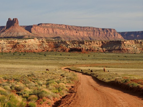
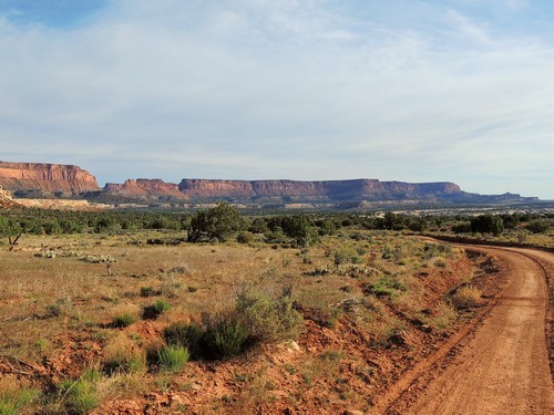
Scenery on the Flint Trail is better than on The Dollhouse. The unnamed wall is much better than the named formation in Land of Standing Rocks. Cows were grazing along the graded road.
Unnamed wall going in
|
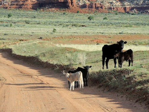
White calf
|
The road to Hans Flat Ranger Station, Flint Trail 2.0, climbs through the mountains shown in this photo.
Hans Flat road goes through the mountains
|
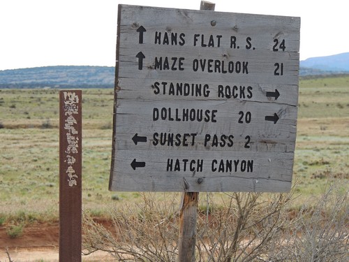
Hans Flat Ranger Station intersection
|
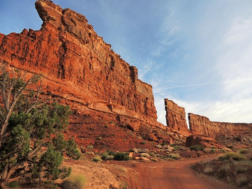
The 3.0 rated section starts a short distance after the Hans Flat intersection. The first 2 - 3 miles are the most continually difficult, with the remainder having short stretches of fairly smooth road.
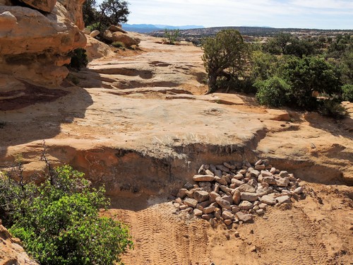
Rocks are stacked in strategic spots
|
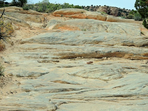
Areas of ledge are common
|
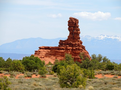
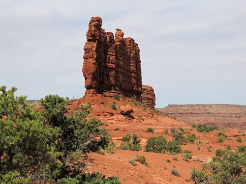
There are at least four named rock formations close to the trail before reaching the Dollhouse.
Mother and Child
|
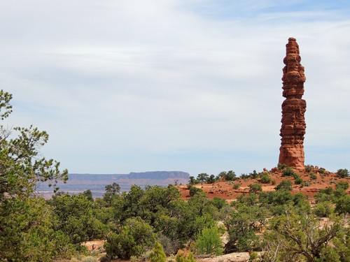
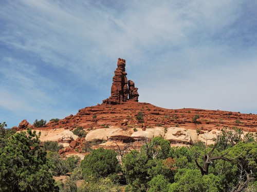
Standing Rock
|
They are spaced out along the trail.
The Chimney
|
The Wall
|
The Dollhouse is a large outcropping of Cedar Mesa Sandstone that has been weathered into a fantastic array of towers and spires that challenge the imagination. The Dollhouse is especially attractive just before sunset when the last rays of the western sun shine directly on the red and pink horizontal bands in the sandstone, igniting them to a fiery glow. Quote from Utahtrails.com
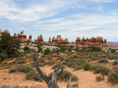
Dollhouse from a distance
|
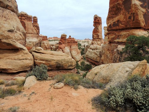
Inside the Dollhouse
|
Updated 2017.
|
|
|
| dollhouse_3.0.gpx |